CARTOGRAPHIC PORTAL
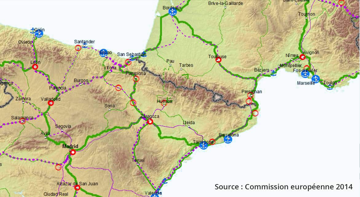
 The study of the different possible solutions for the project crossing corridors of the “New Trans-Pyrenean High-Capacity Railway Axis (TGC-P)” between Spain and France was mainly based on the identification of environmental aspects in a large study area on both sides of the border. These issues, taken from public databases, were the subject of precise and detailed mapping. The methodology used to identify environmental values, then classify and finally prioritize them is presented in the environmental study summaries (page “The Studies”) in the following link :https://nctp.eu/en/preliminary-studies-new-pyrenees-crossing-project/
The cartographic portal reconstructs the environmental issues within the area of study according to three levels of precision, each centred on the seven pairs of valleys selected at the end of the studies.
A pair of valleys is defined by the two entrances to a base tunnel, one in a Spanish valley and the other in a French valley. The tunnel portal in Spain is identified by a letter and a pictogram in red, and the entrance to the tunnel in France is identified by a number and a pictogram in blue. For example, the pair D2 valley corresponds to the “Valle de Canfranc / Valle d’Aspe” valley pair.

